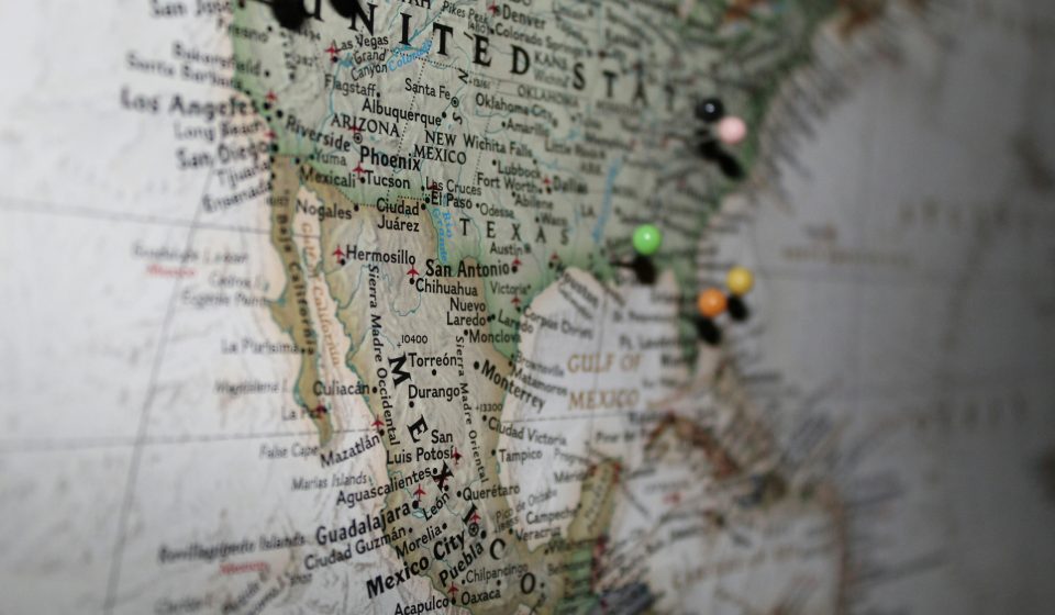

Look at the flight path of an eagle on a map and it may not make much sense at first.
Instead of drawing a straight line toward its destination, the bird may suddenly turn.
Then circle.
Then climb.
Then glide for miles.
It may veer toward a mountain ridge when the direct route appears shorter.
At another point, it might spend several minutes looping over what looks like an ordinary patch of ground.
To human eyes, the route can seem inefficient.
But scientists studying soaring birds have learned that those strange-looking paths can reveal something extraordinary.
An eagle isn’t navigating only across the landscape below. It’s also navigating an invisible landscape in the air.
And that changes everything.
Eagles Don’t Experience the Sky the Way We Do
When humans look into a clear sky, we often see empty space.
A soaring bird experiences something very different.
The atmosphere is constantly moving.
Air rises.
Air sinks.
Wind changes speed and direction.
Mountains deflect airflow upward.
Sun-warmed ground can produce columns of rising air.
Those atmospheric features can become highways for large soaring birds.
Instead of powering every mile with continuous wingbeats, an eagle can exploit moving air to gain altitude and travel while conserving energy.
That’s one reason the path on a GPS map doesn’t always resemble the route a human would choose.
The shortest distance isn’t necessarily the easiest flight.
Those Circles in the Sky Have a Purpose
If you’ve ever watched a hawk, eagle or vulture circle high overhead without appearing to flap its wings very much, you may have been watching it use a thermal.
Thermals form when the sun heats Earth’s surface unevenly.
The warmer air can begin rising.
A soaring bird can enter that rising column and circle within it.
As the air moves upward, the bird gains altitude with relatively little powered flight.
Once high enough, it can leave the thermal and glide toward another area.
Eventually, it loses altitude.
Then it searches for another source of lift.
From the ground, it looks like a bird flying in circles.
From the bird’s perspective, it can be the equivalent of taking an elevator.
Why Not Just Fly in a Straight Line?
Because flying costs energy.
Large birds face a constant trade-off.
They need to get somewhere, but they also need to avoid wasting energy unnecessarily.
Imagine two possible routes.
One is shorter but requires constant powered flight.
The other is longer but contains favorable rising air that allows the bird to soar and glide.
The second route may actually be the better option.
This helps explain why GPS tracks can look surprisingly indirect.
The bird isn’t following the geometry of a road map.
It’s responding to conditions that aren’t visible on an ordinary map.
Mountains Can Become Aerial Highways
Thermals aren’t the only source of lift.
Terrain matters too.
When wind encounters a mountain or ridge, the air can be forced upward.
Soaring birds can take advantage of this orographic lift.
That means a ridge isn’t merely an obstacle.
Under the right conditions, it can help a bird remain airborne.
Researchers studying soaring birds therefore have to think in three dimensions.
A conventional map shows rivers, forests, roads and mountains.
A bird’s functional map also includes wind direction, rising air and altitude.
The atmosphere itself becomes part of the landscape.
Modern Tracking Lets Scientists See the Journey
For generations, researchers had only limited ways to determine where migratory birds went.
Banding and later radio telemetry provided important information, but modern tracking technology has transformed the field.
GPS devices can record an animal’s position repeatedly.
Depending on the equipment and research project, scientists can collect information about location, altitude and movement over time.
Those tracks can then be compared with environmental information.
Suddenly, a line on a map becomes something much richer.
Researchers can ask:
What was the wind doing?
What terrain was beneath the bird?
Was it climbing or descending?
Was it circling?
How quickly was it traveling?
Why might it have selected one route rather than another?
Each additional layer helps explain behavior that location alone cannot.
A Strange Detour May Not Be Strange at All
Imagine looking at an eagle’s track and noticing that it abruptly deviated from what appears to be the obvious route.
Without additional information, you might conclude that the bird became distracted or lost.
But now add wind information.
Perhaps the alternative route provided favorable conditions.
Add topography.
Maybe the eagle followed a ridge where rising air made soaring easier.
Add time of day.
Perhaps atmospheric conditions changed as the ground warmed.
The “mistake” begins to look different.
This is one of the most valuable lessons provided by animal tracking:
Movement has to be understood from the animal’s perspective, not ours.
Eagles Must Constantly Make Decisions
A wild eagle isn’t following a GPS navigation system telling it to turn left in 500 feet.
It is continually responding to information.
Weather.
Wind.
Terrain.
Food.
Other animals.
Potential danger.
Available places to rest.
Its own physical condition.
Scientists should be cautious about describing every movement as evidence of human-like reasoning.
But the behavioral flexibility involved is still remarkable.
Animals can respond to changing conditions in ways that dramatically affect whether they successfully migrate, find food or survive.
Experience Can Matter
Another fascinating question is how much birds improve with experience.
Migration isn’t necessarily a perfectly programmed route that unfolds identically every year.
Depending on species, both inherited tendencies and learning can influence movement.
A younger bird encountering a landscape for the first time doesn’t necessarily possess the same experience as an older individual that has traveled through a region repeatedly.
Over time, an animal may encounter recurring geographic features, weather conditions and opportunities.
Long-term tracking is particularly valuable because it allows researchers to see whether individuals return to familiar places and how their routes change between years.
One migration tells scientists where an animal went.
Repeated migrations can begin revealing how it behaves.
The Same Bird Doesn’t Have to Take the Same Route Every Time
This is another reason long-term tracking is so useful.
If a bird followed precisely the same line every year, researchers might conclude that its route was extremely rigid.
But real environments change.
Wind changes.
Weather changes.
Food availability changes.
Human development changes landscapes.
The conditions a migrating bird encounters one year may be very different the next.
A successful animal therefore benefits from some degree of flexibility.
Instead of asking only, “Where does this eagle migrate?” scientists can ask a more interesting question:
How does it decide how to get there under different conditions?
Weather Can Turn a Routine Flight Into a Serious Challenge
For a large soaring bird, weather isn’t background scenery.
It’s part of the journey.
Wind can help.
Or hinder.
Rising air can provide lift.
Bad conditions can reduce opportunities to soar.
Extreme weather can make migration dangerous.
That’s why understanding the interaction between animals and atmospheric conditions matters.
As researchers combine tracking data with increasingly detailed environmental information, they can study how birds alter movement when conditions change.
The resulting maps aren’t simply records of travel.
They’re records of responses.
There’s Another Reason Scientists Care About Flight Paths
Understanding how large birds move has practical implications.
Human infrastructure increasingly overlaps with the airspace used by wildlife.
Wind-energy development is one example.
Knowing where and under what atmospheric conditions large soaring birds are most likely to fly can help researchers and planners better understand collision risks.
Power lines and other structures can also affect birds.
Conservation therefore isn’t only about protecting the places where animals nest.
For migratory species, scientists need to understand the routes connecting those places as well.
Tracking Can Reveal Important Stopover Areas
A bird’s destination isn’t the entire story.
The places it uses along the way can be critical.
An eagle may repeatedly stop or spend time in certain regions because those locations provide food, favorable terrain or opportunities to rest.
If researchers looked only at the beginning and end of a migration, those areas could easily be overlooked.
Detailed movement data can reveal them.
That matters because protecting a migratory animal may require protecting an entire network of habitat rather than one isolated location.
The Map Can Also Reveal Human Influence
Long-term movement research can show how animals interact with landscapes altered by people.
Roads.
Cities.
Agricultural land.
Energy infrastructure.
Habitat fragmentation.
All can potentially influence animal movement.
Some species adapt surprisingly well to certain changes.
Others may avoid disturbed areas.
Tracking gives researchers a way to observe those responses without relying solely on occasional sightings.
The animal effectively carries the data logger through its own world.
But GPS Data Doesn’t Let Us Read an Eagle’s Mind
There’s an important limitation.
A GPS track tells scientists where an animal went.
It doesn’t automatically tell them why.
Researchers can test explanations by comparing movement with environmental conditions and behavior.
But they still have to distinguish evidence from interpretation.
If an eagle turns before a storm, for example, scientists can’t simply declare that it “predicted the storm” unless the evidence supports that conclusion.
Likewise, a route that aligns with favorable wind doesn’t necessarily prove conscious calculation in the human sense.
Animal behavior is fascinating enough without exaggeration.
What Looks Like Chaos May Contain Information
That’s perhaps the most compelling thing about movement research.
A messy GPS track can initially look meaningless.
Zoom out, compare multiple journeys and add environmental information, however, and patterns can emerge.
Certain ridges may repeatedly attract soaring birds.
Certain weather conditions may correspond with faster travel.
Some areas may consistently become stopovers.
Routes may shift from year to year while still accomplishing the same overall migration.
The apparent chaos begins revealing structure.
Not because the animal is secretly following a human-style map.
But because its movement is shaped by a world of information humans don’t naturally perceive.
An Eagle’s Map Has Invisible Roads
We navigate using highways.
Street signs.
Bridges.
GPS directions.
Property boundaries.
An eagle’s environment contains a completely different set of pathways.
A rising thermal can become an elevator.
A mountain ridge can become a flight corridor.
A favorable tailwind can reduce the cost of travel.
A poor weather system can turn an otherwise useful route into something to avoid.
None of those pathways are painted on the ground.
But they’re real.
And for an animal whose survival depends on using energy efficiently, they can matter enormously.
Technology Is Helping Us See a World That Was Always There
Perhaps the greatest achievement of wildlife tracking isn’t that technology has taught animals how to navigate.
They were doing that long before humans developed GPS.
Technology has simply allowed us to watch more closely.
A bird takes off.
A tiny device records its movement.
Researchers compare those movements with weather and geography.
And suddenly humans get a glimpse of a world that has always existed above us.
The empty-looking sky becomes a landscape filled with invisible structure.
What appeared to be wandering becomes movement shaped by conditions.
What looked like an unnecessary circle becomes a climb on rising air.
And what seemed like a strange detour may turn out to be an efficient response to the atmosphere.
The eagle didn’t need a human map to understand its world.
We needed better tools to begin understanding the eagle’s.
Have you ever watched an eagle circling overhead and wondered why it wasn’t simply flying in a straight line?